Adams County · 0,000 acTBC
Scenic Byway
A conservation project along the byway corridor.
Conserved lands
Protected ground across four counties — some held outright, most under easement with the families who work it. Most of it is private property; the map shows what is open to the public.
Interactive map
Public access varies property by property. Check each listing before you go.
Placeholder
Interactive parcel map
The live map from the current site drops in here — parcel boundaries, county layers, public-access markers. Needs the parcel dataset before it can be built.
The index
00TBC properties · 00,000TBC acres
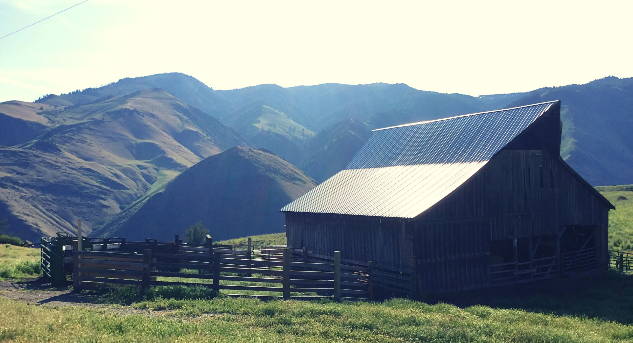
Adams County · 0,000 acTBC
A conservation project along the byway corridor.
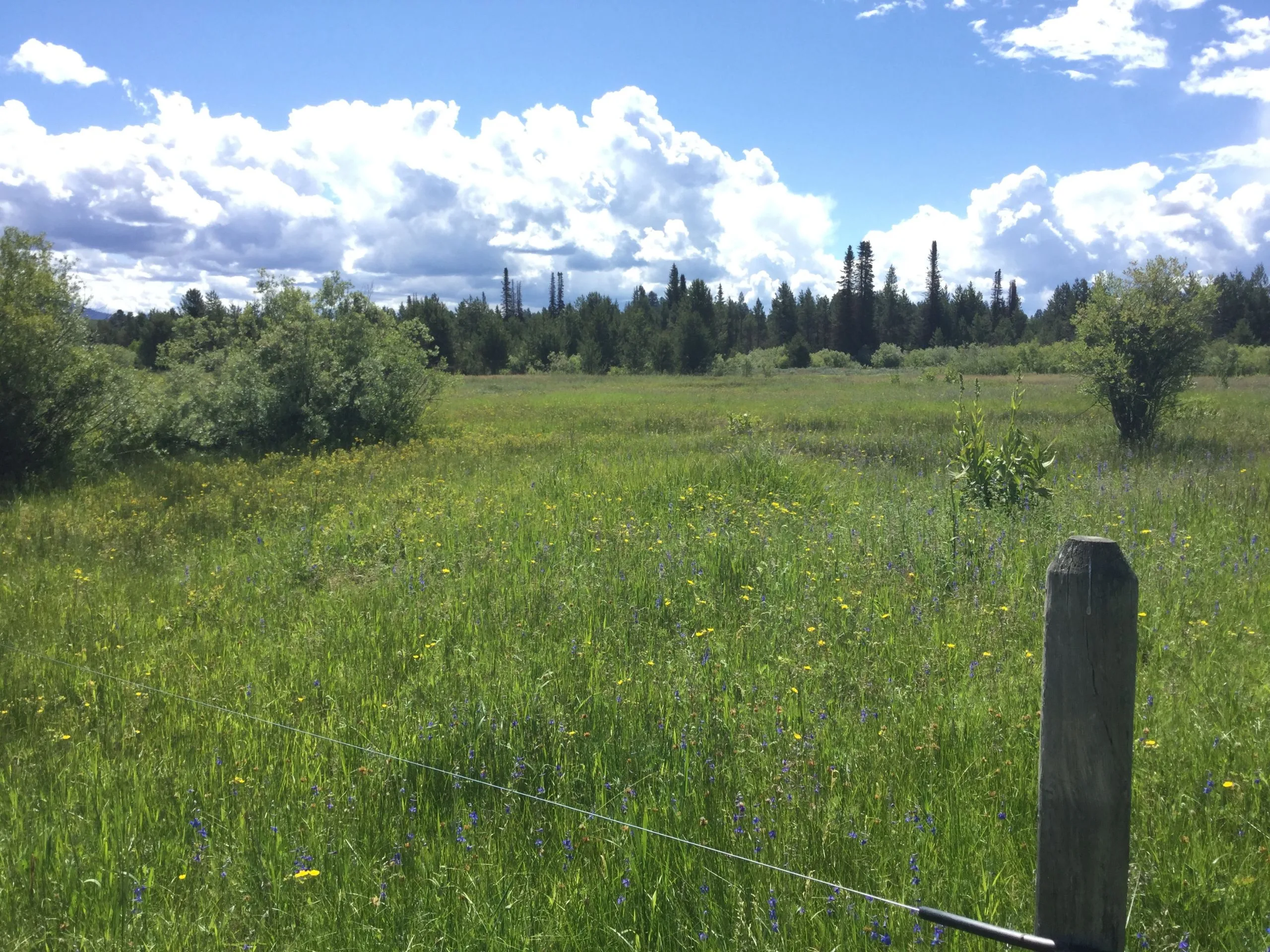
Valley County · 0,000 acTBC
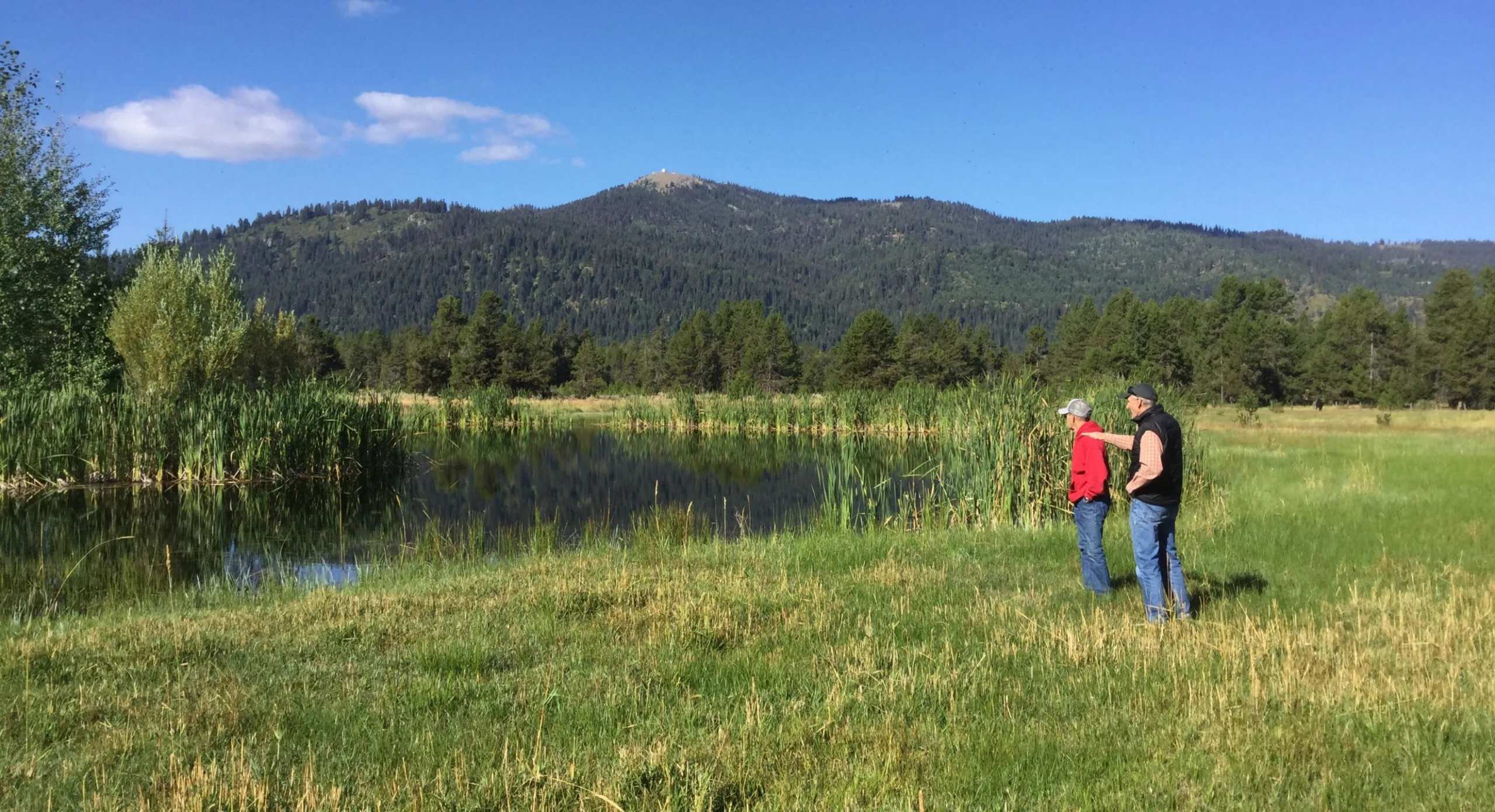
Irrigated hay ground and wet meadow, grazed the same way for four generations.
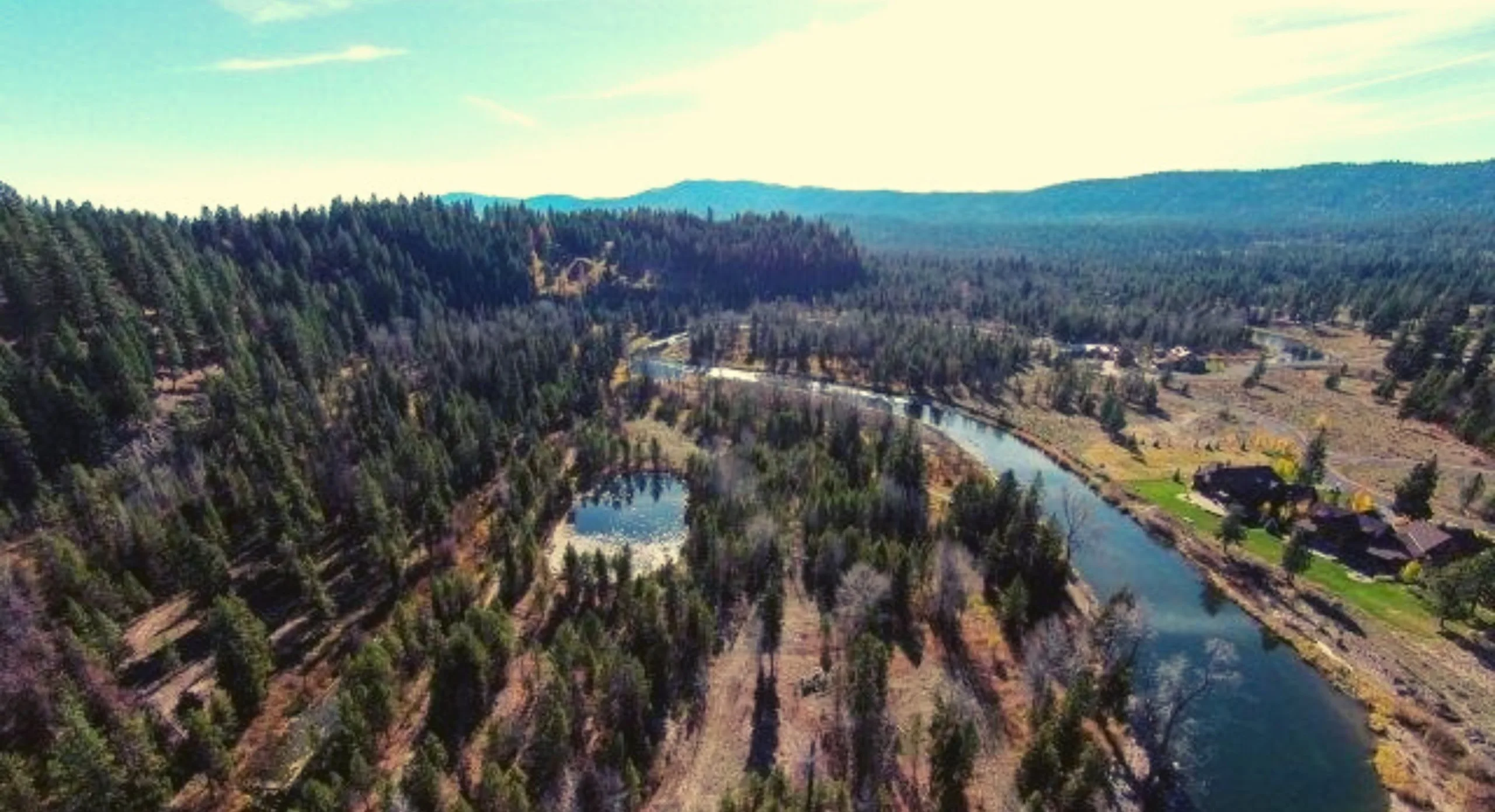
Valley County · 0,000 acTBC
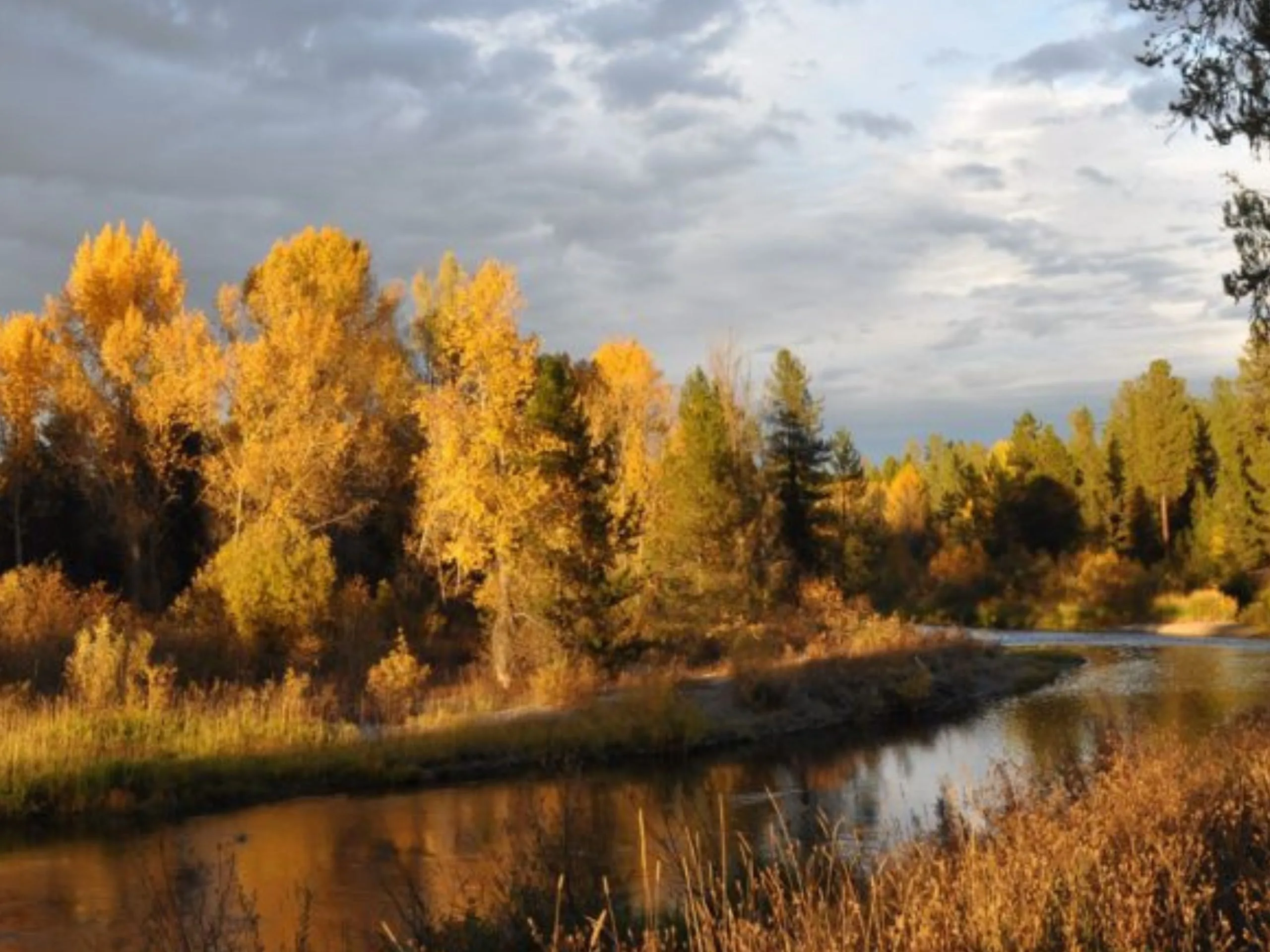
An undeveloped island in the North Fork, held for river habitat and public view.
Washington County · 0,000 acTBC
Riverfront held with the Payette Riverwalk Alliance.
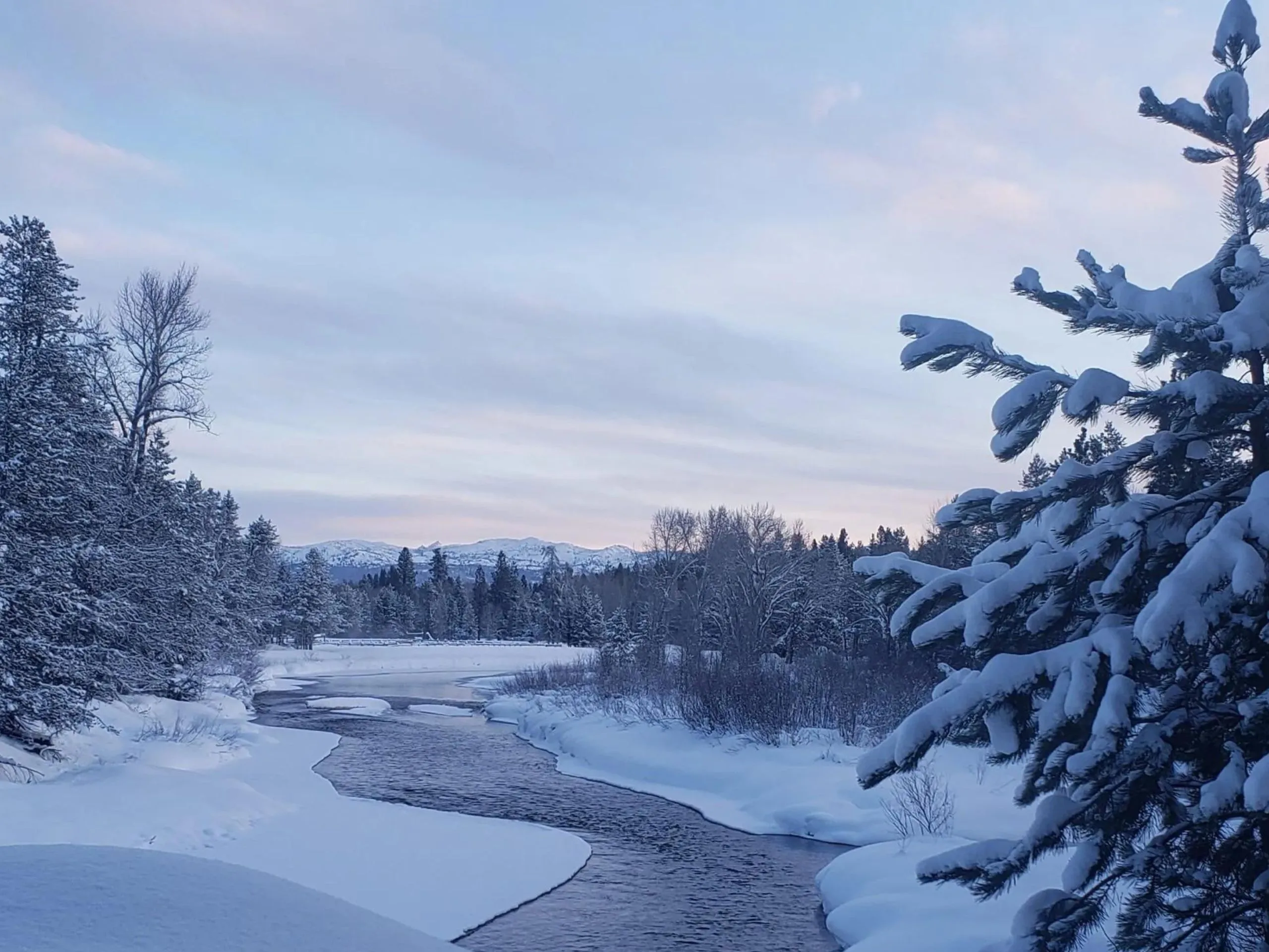
Valley County · 0,000 acTBC
The first property PLT ever held in fee title. Still working timber.
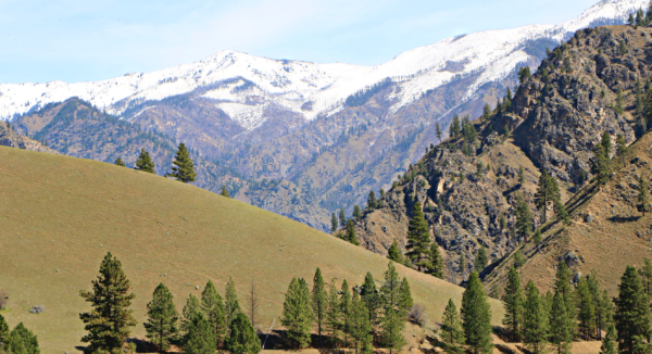
Idaho County · 0,000 acTBC
Working ranch ground under the high country.
Acreage, county and legal description for every property are pending from PLT. Anything marked TBCTBC is a placeholder, not a figure.
For landowners
Every property here started with a conversation and no obligation. We will walk your ground with you and tell you honestly whether an easement fits.